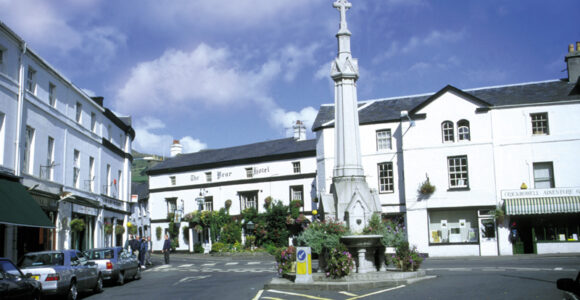
Crickhowell and Llangattock Conservation Areas
In 2019 the Crickhowell and Llangattock Conservation Area was reviewed with draft conservation area appraisals published for consultation in November 2019 and exhibition events held in January 2020. As part of the review it was proposed to split the existing conservation area currently covering both settlements so that Crickhowell and Llangattock each has its own conservation area. In addition to splitting the existing conversation area, the review also proposed amendments to the conservation area boundary deleting some areas and extending it in others. Following some further amendments in response to the consultation feedback, the appraisals and the proposed boundary maps for each settlement were approved by the National Park Authority at the meeting on the 7th August 2020. The documents and maps can be downloaded via the links below.
Crickhowell
The following amendments are made to the Crickhowell Conservation Area boundary:
- Inclusion of part of Llanbedr Road and Rectory Road; and the Bullpit Picnic Site.
- deletion of housing estates Glan Yr Afon and Llys Yr Afon, Castle Road.
Llangattock
The following amendments are made to Llangattock’s Conservation Area boundary
- Inclusion of land to the north and North West of the Old Rectory, including Ty Garadd.
- Deletion of the dwellings on the south side of Park Drive.